Note
Click here to download the full example code
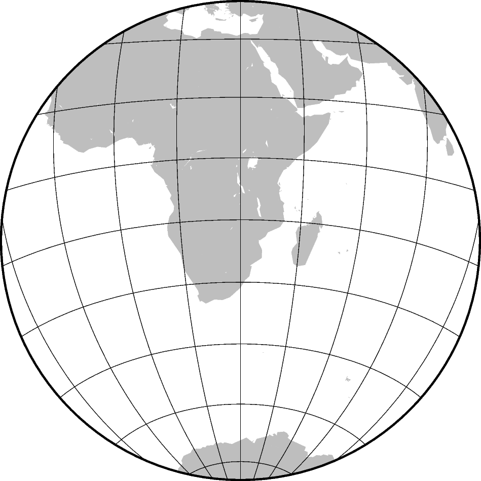
Lambert Azimuthal Equal Area
This projection was developed by Johann Heinrich Lambert in 1772 and is typically used for mapping large regions like continents and hemispheres. It is an azimuthal, equal-area projection, but is not perspective. Distortion is zero at the center of the projection, and increases radially away from this point.
alon0/lat0[/horizon]/scale or Alon0/lat0[/horizon]/width
a or A specifies the projection type, and lon0/lat0 specifies the projection center, horizon specifies the maximum distance from projection center (in degrees, <= 180, default 90), and scale or width sets the size of the figure.

Out:
<IPython.core.display.Image object>
import pygmt

fig = pygmt.Figure()
fig.coast(region="g", frame="afg", land="gray", projection="A30/-20/60/12c")
fig.show()
Total running time of the script: ( 0 minutes 1.024 seconds)